Paddles: 1 - no skill, desire to learn; 2 - moderate, knowledge needed; 3 -…
52 Weekends on the Water
On the Alabama Scenic River Trail, there’s something new to experience every weekend of the year.
Float through Alabama’s Sipsey Fork Wilderness
Paddles: 1 – no skill, desire to learn; 2 – moderate, knowledge needed; 3 – advanced, know what’s up
Additional River Information
More information on the Sipsey Fork from Outdoor Alabama:
The Sipsey Fork originates at the confluence of Thompson and Hubbard creeks in southwestern Lawrence County. Often referred to by mistake as the Sipsey River, the Sipsey Fork is a tributary stream of the Mulberry Fork, which is part of the Black Warrior River. It flows south-southeasterly until impacted by the impounded waters of Lewis-Smith Reservoir. This section, commonly referred to as Upper Sipsey Fork, lies completely within the boundaries of the William B. Bankhead National Forest. Sipsey Fork is Alabama’s only stream classified as a “National Wild and Scenic River,” ensuring its protection for future generations.
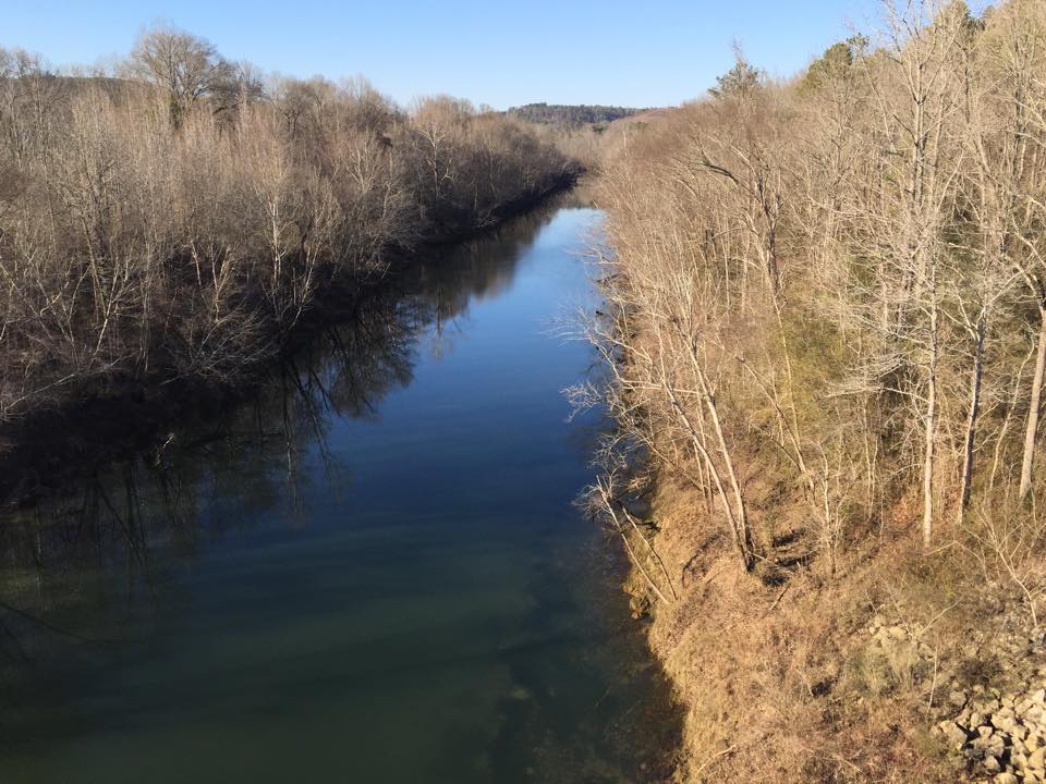
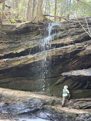
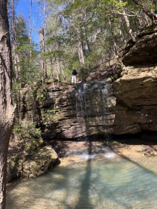
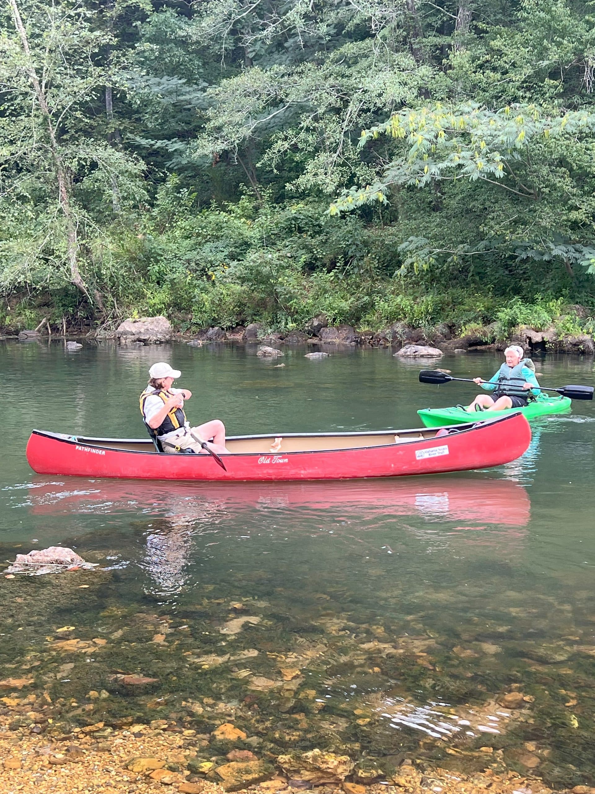
Floating Upper Sipsey Fork by kayak or canoe is the ideal method of enjoying its wonder. The aesthetic value alone makes the adventure worthwhile. Frequent rock bluffs rise straight up from the stream’s edge, some in excess of one-hundred feet. Lush vegetation drapes the shoreline, while the surrounding country is hilly, heavily wooded, remote, and quiet. The music of water cascading over the many cliffs is a guarantee in the Sipsey Wilderness nicknamed the “Land of a Thousand Waterfalls.”
Find out more about the Sipsey Fork Wilderness Area by learning about Bankhead National Forest.
Trip Summary
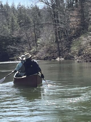
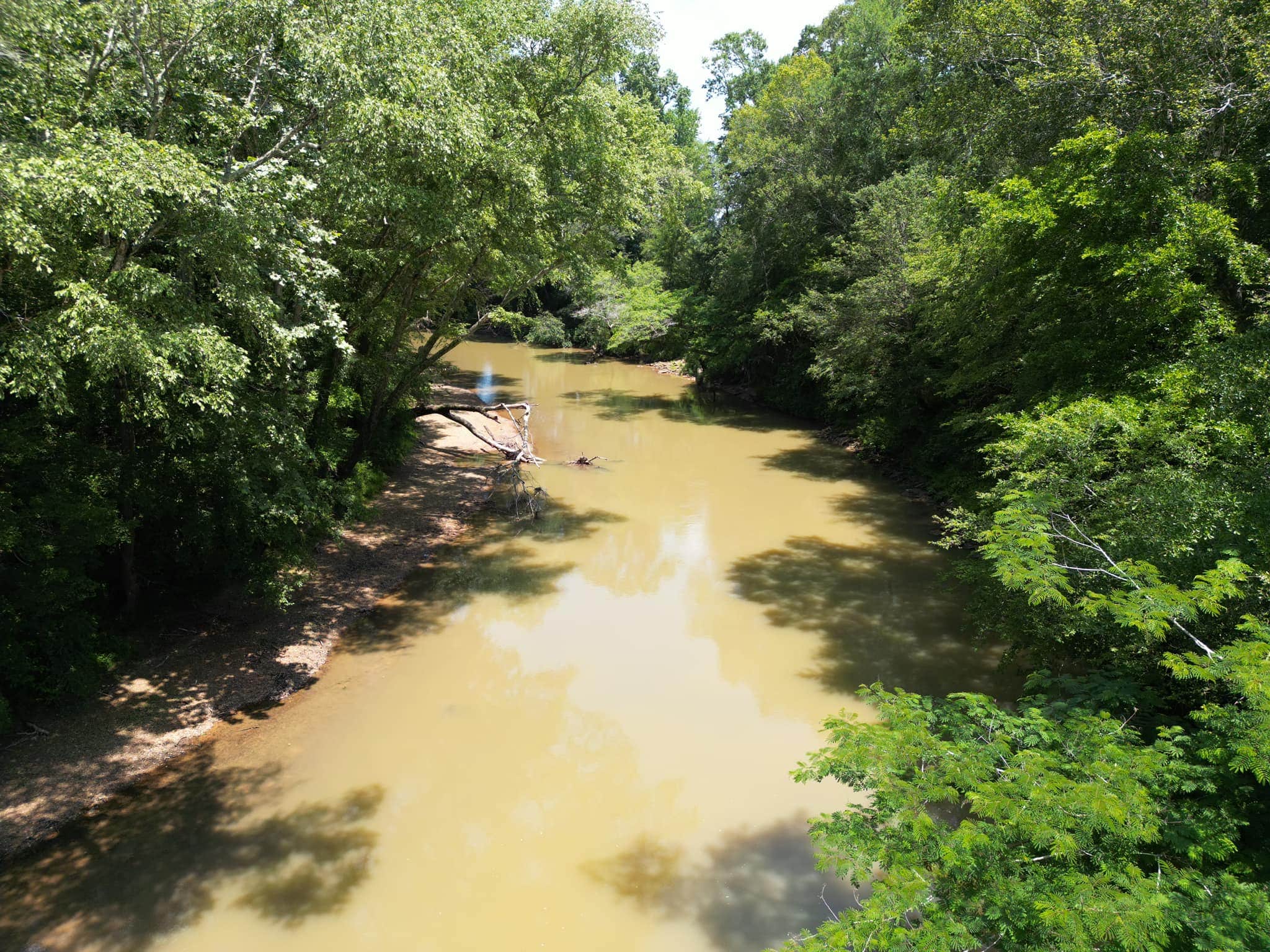
There are some who say the Sipsey Fork is Alabama’s most impressive paddling destination. The 71-mile-long river is formed by the junction of Thompson and Hubbard creeks in the Sipsey Wilderness of Bankhead National Forest. The river flows through deep forest, and past impressive cliffs, with waterfalls carving deep draws on the canyon sides. The most popular run, about 9.6 miles, is from the Sipsey Picnic Area on Cranal Road to the takeout near the Highway 33 bridge just north of Double Springs. Unfortunately, this is a trip that must be done in winter or early spring, as water levels drop in April and May to un-runnable levels. The trip is mostly moving water, with a few small shoals and one Class II rapid, called 100 Yard Dash.
Water Level Recommendations: Minimum water level for a trip that doesn’t involve scrapping over rocks or having to get out of your boat is around 80 CFS (cubic feet per second). At levels over 200 CFS, use caution at shoals and at 100 yard dash. Use the USGS gauge, “Sipsey River Near Grayson, AL” for reference.
Trail Highlights
Day 1
Side Ventures & Optional Activities to Add to Your Trip
Bonus Sightings
Non-Paddler Recommendations
- Looney’s Amphitheater Complex and Cultural Center in Double Springs:
- Part of Winston County Arts Council, Looney’s Amphitheater offers various cultural and entertainment events throughout the year.
- Explore Downtown Jasper, AL:
- Discover the charm of Downtown Jasper. Use the interactive map to explore local shops and attractions.
- Golfing in Moulton, AL:
- Work on your golf game in Moulton. More information can be found here.
Share Your Trip!
Have you completed this trip? Share it with your friends, family, or colleagues!
