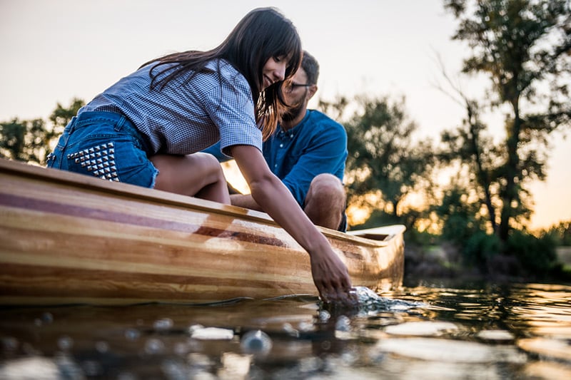
Paddlers
NOTICE: Updates on the conditions and open/closed businesses along the Alabama Scenic River Trail can be found here as they develop and are noted.
For the canoeist and kayaker, there are easy stretches with numerous well-maintained campsites. The Alabama Power Company has designed portages around all six of their dams and the US Army Corps of Engineers has developed portages for those who do not want to experience the easy descent in the mammoth locks at their three dams. In the six lakes of Alabama Power Company, portages are marked by a buoy in the water at the beginning of each. These buoys may be identified as being 24 inches high, white, with a square on the side containing the image of a kayak. Millers Ferry Lock & Dam—two shifts per day, first shift 6:00 a.m. to 2:00 p.m. and second shift 6:00 p.m. to 2:00 a.m. (arrive no later than 1:30 to lock through) 334 682 4877 (see detailed portage map below). At the three US Army Corps of Engineers damsites, the portages are marked with several such buoys upstream of each optional portage (these three dams have locks that the boater is welcome to use as an alternative to the portage at each dam). Coosa River contact information (see more detail in the Trail Angels section under the Contacts tab of this website). Weiss 256-526-8467 Neely Henry 256-892-3172 Logan Martin 205-672-2332 Lay 205-755-4520 Mitchell 205-755-4262 ** Jordan 334-567-5101 ** ** For paddled craft, a shuttle is available at Mitchell Dam, where the portage is difficult, details are in the Guidebook for that lake and dam. Also, a shuttle has developed at Jordan Dam, where the portage is very long. Following is a December 2012 status from Trail Angel Andy Baril and two other Alabama Hiking Trail Society members who worked to clear and improve the Mitchell portage: Built in 2008, the portage is on the LEFT - east side (Coosa Co.) of the Lake as you approach the dam from the north. In the last mile before you reach the dam the river turns hard to the east then makes a U-turn to the west and onto the dam. The portage is in the bottom of the U-turn. In the U-turn you will see an old submerged ski jump (At the mouth of Little "Y" Slough). Only the metal superstructure remains. South of that structure is the ASRT buoy (Lat/Lon. 32.8132/ 86.4441) About 20' behind the buoy is a wet weather stream that empties into Lake Mitchell. You will find some blue paint on the trees. From there just follow the paint to Jordan Lake.
Mitchell's pool elevation is 312'. [Pull your boat in, unload, and carry your gear up the stream, following the paint, to a APCO road at the top. The road elevation is 550'. Now go back and get your boat.] - This is the "hard" part of the portage. At the sign on the road turn right and follow it back to the west until you see the second sign. Take a left at the sign and follow the old skidder trail/ woods road down to Jordan Lake. The pool elevation of Jordan Lake is 252'. The sign at Jordan is (Lat/Lon. 32.8042/ 86.4456). You are not allowed to camp on APCO's land.
Alabama River contact information Use these numbers to request usage of the locks: Robert F. Henry Lock & Dam—one shift 7:00 a.m. to 5:00 p.m. (arrive no later than 4:30 to lock through)—334 872 9525 Claiborne Lock & Dam—open 24 hours— 251 282 4575 For Campsite Information, click here Aerial Images of Alabama River Portages ![]() ![]() ![]() ![]() |
![]()
Subscribe to our free enewsletter to receive news and updates about the Alabama Scenic River Trail.
Second Quarter Meeting 2018
May 07 Alabama Scenic River Trail Second Quarter Meeting 2018
May 7, 2018
Time: 10:30 to Noon
Location: Environmental Services Depa... Read MoreMay 19-20 The dates have been set for this year's Hatchet Creek Festival: May 19-20, 2018.
As is always the case, we will need 10-12 safety paddlers for this annual event. Please contact our District Director Joanne Ninesling (ppbirdingtrail@gmail.com) if you would like to be a safety paddler. More details to come on this event, but be ready—it sells out EVERY YEAR! ![]() |